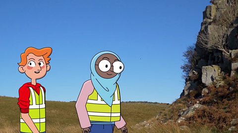
Outdoor detectives
Mapping the world
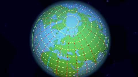
Discover that from space, the Earth looks like a ball.

Understanding latitude and longitude
To help locate where a place is in the world, people use imaginary lines called latitude and longitude.
Understanding time zones
Did you know that when it's daytime in the UK, it's night-time in Australia?

What is a map used for?
A map is a two-dimensional drawing of an area which helps plan routes.
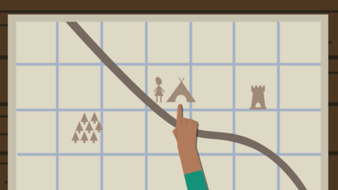
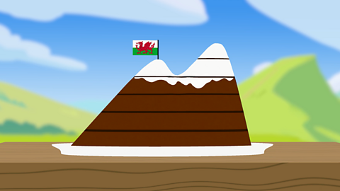
Understanding contours, keys and symbols
Ever wondered what all those funny drawings and curved lines are on a map?
How to read a map
Discover how to read maps using a compass, grid references, symbols and a key.
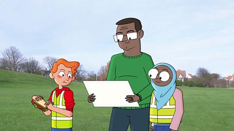
How to understand geographical fieldwork
Learn about human and physical features as well as primary and secondary sources.
How to research a geography fieldwork investigation
Explore why quantitative and qualitative data are relevant to fieldwork research.
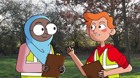
How to plan a geography fieldwork investigation
Discover how Ayesha and James work together to design and plan their investigation by thinking about their best options.
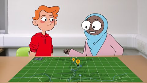
What happens in a geography fieldwork investigation?
Ayesha and James explore how they can make sure their investigation is safe and accurate by using the appropriate equipment and practices.
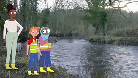
How to analyse, present and evaluate fieldwork findings
Discover how Ayesha and James review their findings and find the best way to present them to their peers. Together, they explore graphs, maps and presentation skills.
