Identifying the seven continents, five oceans, the Equator, the Northern and Southern Hemisphere and the North and South Pole.
Hello, I'm Earth. I'm where you live. You and a few billion others.
People live all over me on bits of land called continents.
There are seven:
North America
South America
Africa
Europe
Asia
Oceania
and Antarctica.
Over two thirds of my surface is covered in water. Most of it is held in the five oceans:
The Atlantic Ocean
The Indian Ocean
The Pacific Ocean
The Southern Ocean
and The Arctic Ocean.
I orbit around the sun. Not that fast! It actually takes me a year.
There's an imaginary line that runs around my middle, which is always closest to the sun.
There it is, the Equator.
It marks the difference between my two parts: the northern hemisphere and the southern hemisphere.
This cold part at the top is my most northern point and is called the North Pole.
I also have another cold part at my bottom - I mean, my most southerly point - which is called the South Pole.
I have a lot going on, don't I?
So take care of me, please, because I'm your home.
Video summary
This video identifies the seven continents and five oceans of the Earth, and also where the Equator, Northern and Southern Hemispheres and the North and South Poles are located on the planet.
Teacher Notes
This video can help pupils learn about the physical geography of the Earth.
Teachers can use the film to introduce how the landmass of Earth is grouped into seven continents and the main areas of sea into five oceans.
It is also an effective tool to reinforce pupils’ understanding of continents and oceans and where they are located.
Points for discussion:
- What are the seven continents? (North America, South America, Asia, Africa, Europe, Oceania, Antarctica.)
- What are the five oceans? (Pacific Ocean, Atlantic Ocean, Indian Ocean, Southern Ocean, Arctic Ocean.)
- Can pupils place these features on a base map?
- What is the weather and climate like in different areas of Earth? And why?
Suggested activities:
After watching the film, teachers could use a base map to explore the make up of the world and where the features explored in the video are located.
Pupils could try match photographs of different places on Earth to their locations on a continent or ocean. Pupils can then explain why they believe these places are in the locations they have chosen.
When starting a new unit or topic that relates to a geographical location, teachers could use the film to show the location on the globe.
The film is also a useful way to bring key location knowledge into every unit or topic studied.
Suitable for teaching geography at KS1 and KS2 in England, Progression Step 2 and 3 in Wales, Early and 1st and 2nd level in Scotland and Foundation and KS1 in Northern Ireland.
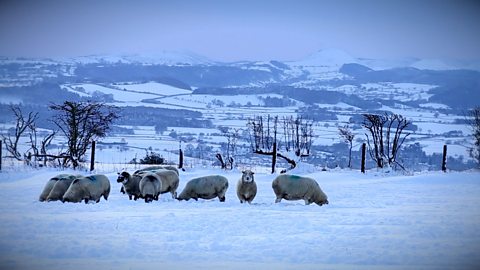
Weather, climate and climate change. video
Exploring the difference between weather and climate, climate zones around the world and climate change.
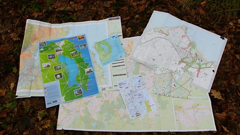
Maps. video
Maps, mapping and navigation - including map keys, symbols, compass points and co-ordinates.
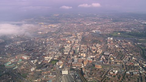
Cities, towns and villages. video
Exploring settlements to identify the key geographical features of villages, towns and cities, including their similarities and differences.
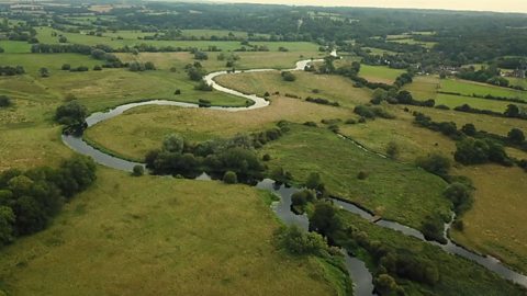
Rivers. video
Exploring the journey of water to the sea, including source, stream, river, meander, river mouth and estuary.
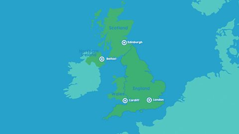
The United Kingdom. video
Identifying the four countries of the UK - England, Scotland, Wales, Northern Ireland - and their capital cities: London, Edinburgh, Cardiff, Belfast.
The seasons. video
Spring, summer, autumn, winter... Identifying the four seasons of the United Kingdom's temperate climate.
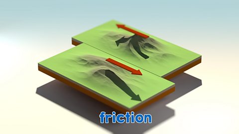
Earthquakes. video
An animation for KS2 pupils on tectonic plate movement and steps to lessen the impact of earthquakes.
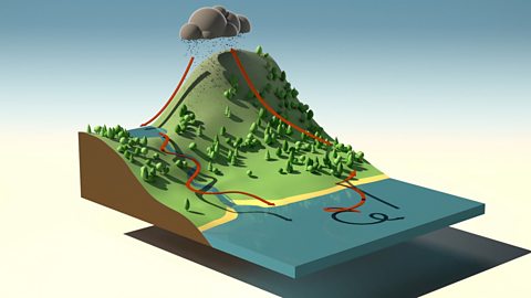
The water cycle. video
An short animation for KS2 pupils explaining the water cycle, including evaporation, condensation and precipitation.