Could warmer weather be on the way after recent rain?

Sunny skies earlier this month but could next week be hotter?
- Published
Some parts of the country had more rain on Wednesday than during the rest of April and the whole of March combined.
However, the pattern could change next week as high pressure influences our weather again.
With temperatures forecast to rise, could we see the warmest weather of the year so far?
How wet has it been this month?

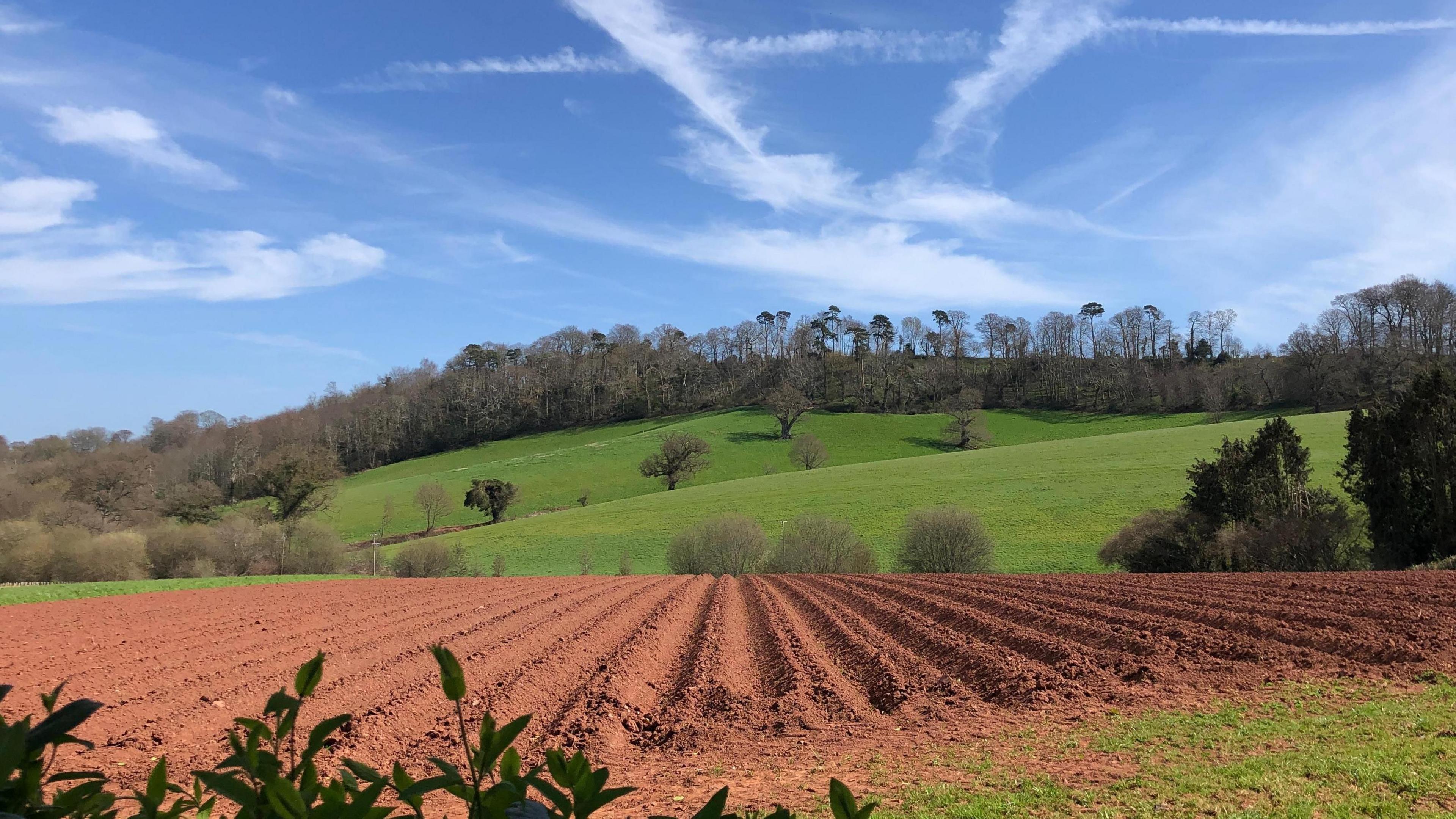
Some parts of the country have had a very wet April and others a very dry month
After weeks of generally dry, sunny and warm conditions due to a blocked weather pattern, things started to change around mid April.
Since then there has been some rain but it hasn't fallen evenly.
Parts of Northern Ireland, Wales and south-west England have had significantly more than the normal April rainfall. But in some areas of northern Scotland and northern England the April showers have failed to materialise and it has been very dry.
Lyneham in Wiltshire and Brize Norton in Oxfordshire had more rain on Wednesday than during the the rest of April and the whole of March put together!
March saw very low rainfall for many areas. It was the fourth driest March on record in Wales and the sixth driest March in England.
The dry spell in March and early April, combined with higher than average temperatures, contributed to more wildfires for the time of year, raising fears for wildlife and vegetation. According to the UK Centre for Ecology and Hydrology, external farmers have been concerned about the effects of the dry weather on their crops, particularly at this stage of the growing season.
Could there be more rain this weekend?
- Published14 November 2024
A weather front will stumble across the UK from the Atlantic on Saturday. With no wind to push the rain through and rising pressure, the rain is expected to be light and die out through the day but leave a residue of cloud. Many eastern areas could stay dry.
On Sunday low pressure to the north-west of the UK could bring a little rain again to western areas. Eastern parts may still be dry, and with more sunshine we should see it turning warmer.

Warming up from Sunday into next week
Heating up next week
The highest temperature of the year so far is 24C recorded in Northolt, north-west London, on 12 April. That record could be broken next week.
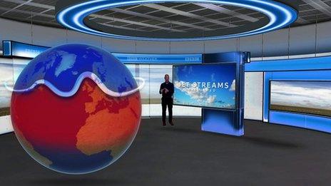
Though still some way off, it looks like another blocked weather pattern will become established as the jet stream slows and becomes distorted.
Areas of low pressure will try to bring rain in from the Atlantic but their progress will be halted by high pressure building to the east of the UK.

Climate change could lead to the jet stream weakening more often and more blocked weather patterns
This pattern allows warm air from the near continent to waft over us on a south-easterly wind. Temperatures are forecast to rise everywhere and the warmer weather could last all next week.
The temperature hasn't reached 25C here in April since 2020 - lockdown year! For the last few years we haven't reached that milestone temperature until mid to late May.
There's still some way to go to reach the highest temperature ever recorded in April. That was 29.4C on April 16 1949 in London.
Details will change but you can find out how warm it will be where you are on the BBC Weather app. And to see how long the warm weather could last take a look at the longer range forecast is here.
- Published26 October 2020

- Published1 April